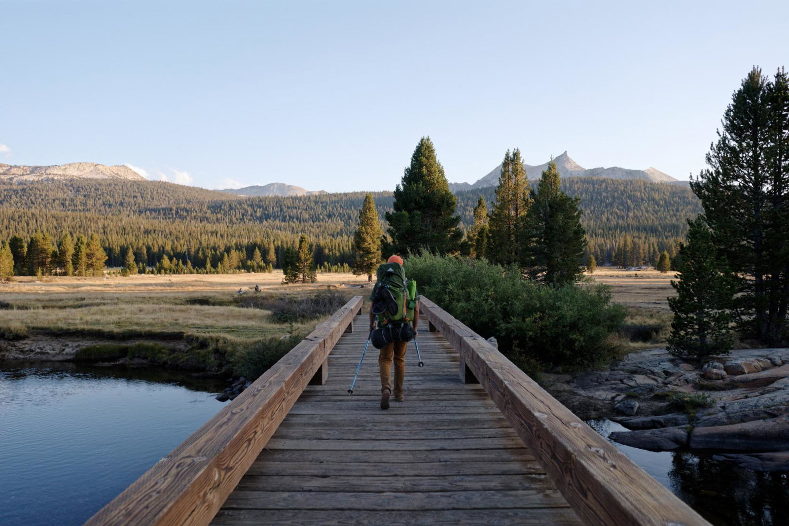
Carlon Falls
Length: 3.8 miles
This trail takes hikers into Yosemite National Park, along Tuolumne River, finishing at the beautiful Carlon Falls. As the trail starts outside of the park, walkers can avoid entrance fees and there's no need for a reservation.
Pinecrest Lake Loop Trail
Length: 3.9 miles
The Pinecrest Lake Loop Trail follows the banks of Pinecrest Lake, taking walkers on an easy loop crossing the Stanislaus River and Strawberry Dam.
Ferretti RD Trail Network
Length: 5.6 miles
This network of trails allows visitors to adapt their hike to their level of difficulty and even has a 1.3 mile loop specifically for mountain bike riders to enjoy. Hikers will enjoy epic views into Yosemite National Park and the Tuolumne River Canyon.
West side Railroad Trail
Length: 10 miles
Following what was once a railroad used for logging, this trail takes walkers along the mountainside with picturesque views of the Tuolumne River. The trail is particularly beautiful during the spring and summer when the wildflowers are blooming.
Wapama Falls
Length: 5 miles or 13.4 miles (when combined)
One of Tuolumne’s most popular trails, this takes hikers to some of Yosemite National Park’s tallest waterfalls. Visitors can choose the shorter 5 mile route which provides spectacular views of Tueeulala and finish at Wapama Falls or take the longer 13.4 mile route through Hetch Hetchy valley, passing Rancheria Falls.
National Park reservation update and visitation advice
Yosemite National Park has announced that it will no longer use a timed reservation system for vehicle entry in 2026. The decision follows a comprehensive evaluation of traffic patterns, parking availability and visitor use during the 2025 season. Visitors should purchase a digital Yosemite Entrance Pass at www.recreation.gov prior to visiting for the most efficient entry, using the Big Oak Flat entrance on Highway 120 is recommended as the most direct route into Yosemite National Park.