


Classed by the US National Hurricane Centre as a Category 3 hurricane with winds topping 110mph, the storm is expected to make landfall on Monday evening (GMT) in the southern Mexican state of Oaxaca, bringing with it 10-16 inches of rain.
A warning is in place for the coast between Lagunas de Chacahua and Salina Cruz, with the coastlines of Chiapas and Guerrero states also threatened.
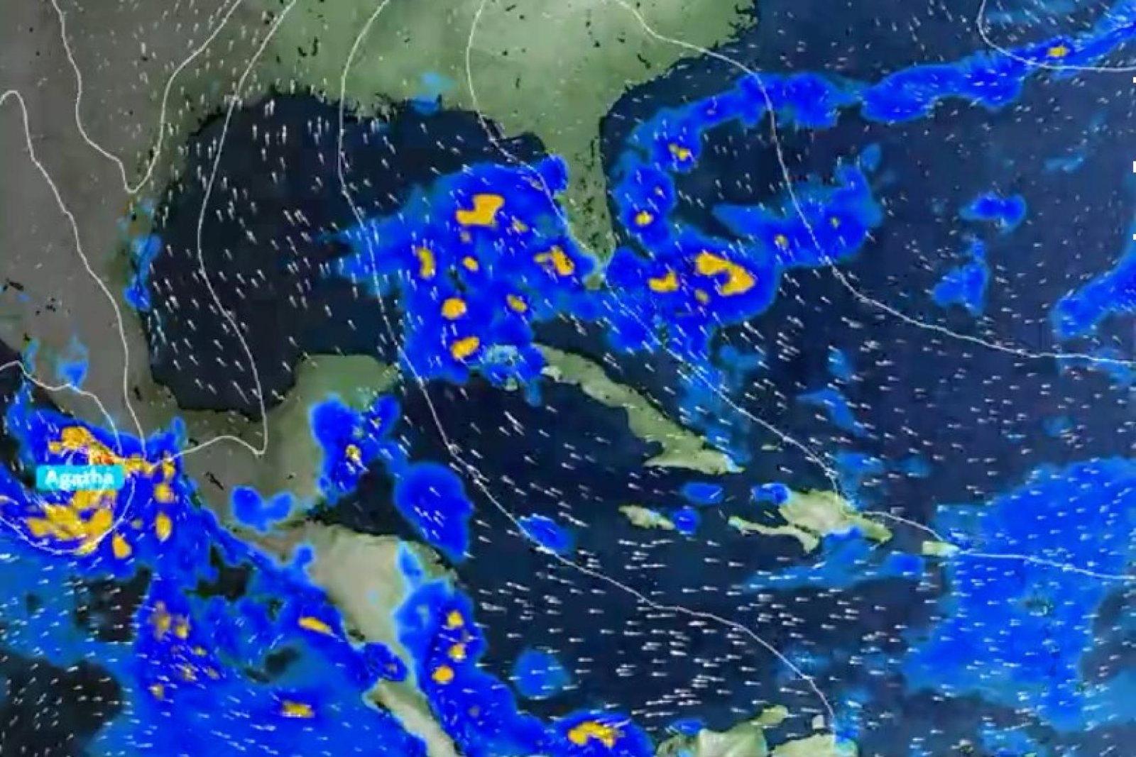
The hurricane has gained momentum quickly after forming in the South Pacific yesterday and is currently tracking towards the Puerto Escondido and Puerto Angel areas, which include the tourist towns of Huatulco, Mazunte and Zipolite.
In Huatulco, all beaches as well as its famous seven bays – many only reachable by boat – were ordered closed to the public, while in Zipolite, local businesses were locking up furniture and shuttering windows in preparation for the storm, reported AP News.
Early Monday, hurricane Agatha was 140 miles southwest of Puerto Angel, moving north-east at 6mph. The US National Hurricane Centre said it could “bring an extremely dangerous storm surge and life-threatening winds”.
The local civil defence office in Oaxaca said the outer bands of the hurricane were already hitting the coast late Sunday, with fishermen hauling in their boats to protect them from the coming storm.
The hurricane season in Mexico normally runs from June to November and can affect both the Pacific and Atlantic coasts, said the FCDO in its updated guidance.
"Hurricane Agatha is expected to make landfall on the southern Pacific coast of Mexico on Monday 30 May in the afternoon," said the FCDO.
"A hurricane warning is in effect for the coast of Oaxaca, between Lagunas de Chacahua and Salina Cruz. The hurricane is also expected to affect the coasts of Chiapas and the southern part of Guerrero."