


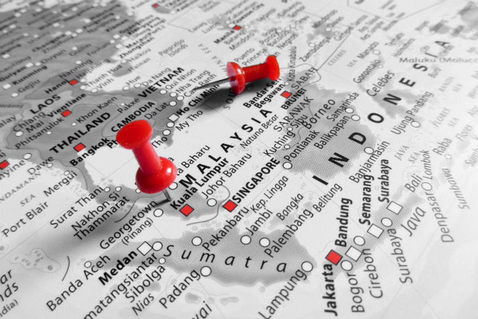
The 7.9 magnitude quake, which was reported by the US Geological Survey (USGS), hit Indonesia’s largest island Sumatra, at 19:49 local time (12:49 GMT).
At present, there are unconfirmed reports of a number of casualties, with numbers likely to rise in the coming hours, according to search and rescue teams.
According to the USGS, the epicentre of the disaster was 500 miles south-west of the city of Padang and measured 24km deep.
Officials across South-East Asia have issued emergency warnings due to fears of a tsunami being triggered following the earthquake.
Australian authorities have also put in place warnings for both Cocos Island and Christmas Island in the Pacific.
In 2004, the region was ravaged by an 8.9 magnitude earthquake, which caused the Boxing day tsunami - killing more than 200,000 locals and tourists.
Following the disaster, a more effective tsunami monitoring system was implemented. Warnings are now issued more frequently after earthquakes in the area.
Indonesia lies on the infamous Pacific "Ring of Fire", an area of plate boundaries with high levels of seismic activity, meaning earthquakes are extremely frequent.